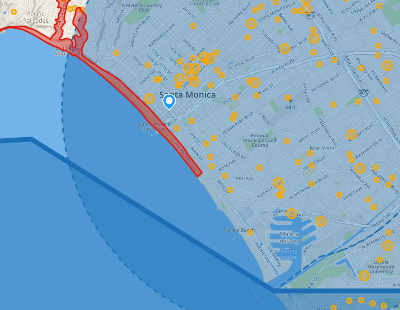
AirMap organizes and provides accurate, dynamic, and trustworthy airspace information for drone makers, operators and regulators so people know when, where, and how to fly drones legally and safely. Integrating multiple sources of reliable data, AirMap gives pilots an easy-to-use, yet detailed solution, providing a single view of restricted area. The company’s fully-digital map shows only the airspace rules that impact UAS operators, stripping away the clutter of higher altitude restrictions and details. AirMap provides airspace information via an API and a downloadable app, and manages the website NoFlyZone.org, where people can register their homes if they do not want drones to fly on their properties.
Engineering Electronics
Physics Aerospace
Increasing Productivity Efficiency
Lux investment: 2015
Acquired: 2021
Ben Marcus
Greg McNeal


